Storms arrive ahead of the end of Waterloo Region heat wave

Posted Jul 3, 2026 03:53:09 AM.
Last Updated Jul 3, 2026 04:09:54 PM.
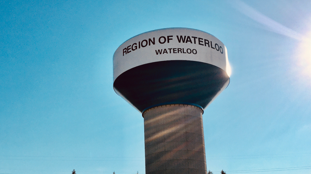
After almost a full week of sweltering temperatures and humidity, a heat wave blanketing the Region of Waterloo is about to come to an end.
Environment Canada still has an orange-level heat warning in effect for us for Friday, also for much of southern Ontario.
At 6:43 a.m. Friday, the weather agency also issued a yellow-level severe thunderstorm watch for the region, calling for the potential of high winds and hail.
An intense thunderstorm hit the region less than half an hour later, with dark clouds, rain, thunder and lightning.
Another yellow severe thunderstorm watch was issued for the afternoon but was lifted shortly before 4 p.m.
Friday’s high is 30 degrees, and combined with the humidity, it will feel more like 40.
But the overnight low is finally expected to fall below 20 degrees Friday night into Saturday for the first time since that heat warning began Monday afternoon.
The Saturday and Sunday highs will be in the mid-20s, with overnight lows around 17 for the weekend and to start next week.
While the heat warning is still in effect, the weather agency reminds everyone to stay safe in this weather.
They recommend drinking water often before you feel thirsty and to watch out for the early signs of heat exhaustion This includes headache, nausea, dizziness, thirst, dark urine and intense fatigue.
Environment Canada also points out that heat stroke can include red and hot skin, dizziness, nausea, confusion and change in consciousness.
They also say to never leave people, especially children or pets inside a parked vehicle.
The weather agency issues a heat warning when very high temperatures or humidity conditions are expected to pose an elevated risk of heat illnesses.