Severe thunderstorm watch ended for Waterloo Region
Posted Jul 16, 2024 08:19:44 AM.
Last Updated Jul 17, 2024 04:30:01 AM.
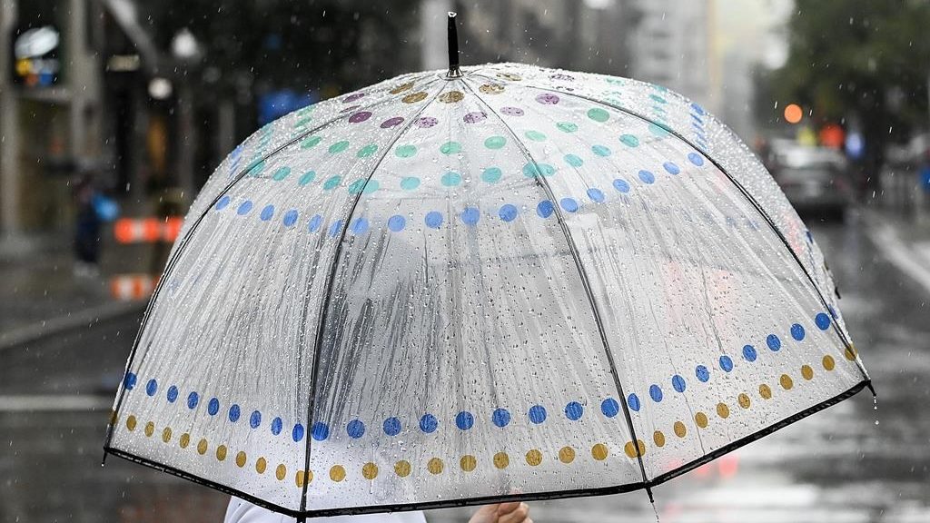
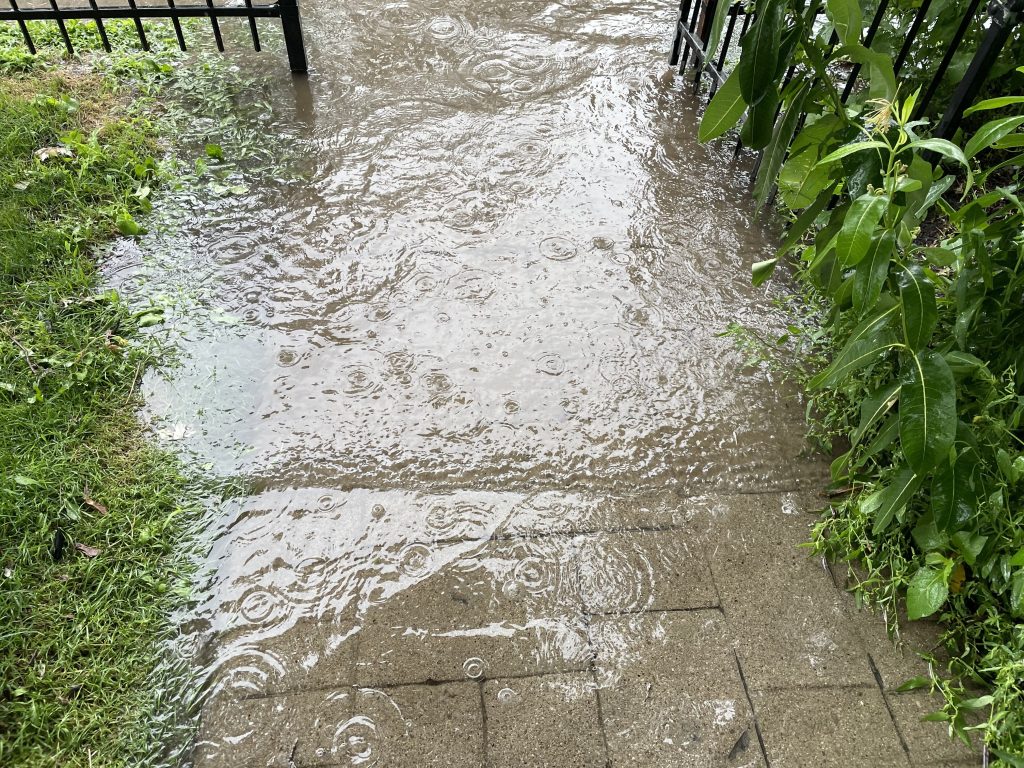
A massive amount of rain slammed into Waterloo Region and surrounding areas on Tuesday leading to flooded roads, backyards, trails, and parks.
Environment Canada issued a rainfall warning early Tuesday morning calling for up to 100 mm of rain, with precipitation rates of up to 40 mm an hour.
A severe thunderstorm watch was then issued for the region for Tuesday afternoon and evening due to the potential for up to 30 mm of additional rainfall, and strong winds gusting up to 90 km/h. That watch has since been lifted.
According to the Grand River Conservation Authority (GRCA), heavy rainfall created saturated soil conditions, making the rivers and streams “very reactive” to even more rain.
Parts of the watershed in the last 24 hours have received 60 mm of rain, with another 10 to 20 mm of rain forecasted for Tuesday afternoon. The potential for thunderstorms could also increase the amount of rainfall in localized areas.
“While widespread riverine flooding is not expected, there may be some flooding in low lying areas near watercourses and in urban areas if drainage systems are overwhelmed,” reads the latest watershed conditions statement from the GRCA.
The GRCA notes, water levels in the region are elevated, and the flows in rivers and streams are moving quicker than usual. Those conditions are expected to worsen from Monday to Wednesday.
Waterloo Regional Police said as of noon Tuesday, they were responding to flooded roads and transit crossings in several areas, including in Kitchener.
The City of Waterloo urged people to stay away from the Laurel Creek area because of flooding concerns, and the City of Cambridge said its staff was dispatched to affected areas in that city and that it was experiencing higher call volumes because of all the impacts.