Rain ready to roll into Waterloo Region

Posted Jul 19, 2026 07:32:48 AM.
Last Updated Jul 20, 2026 03:05:06 PM.
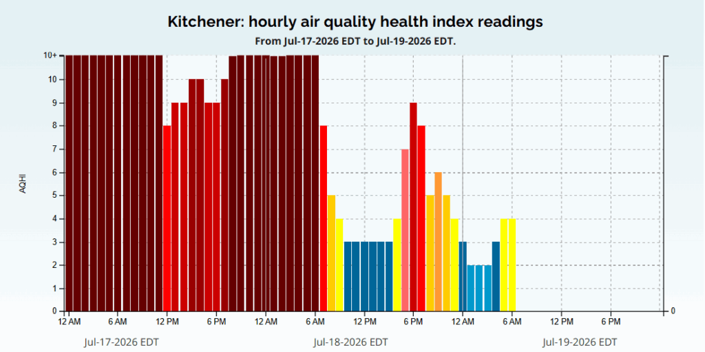
As the air quality starts to improve across the region and temperatures begin to cool from the humid heat early this summer, a streak of on-and-off rain and cooler weather looks to be in the week ahead for Waterloo.
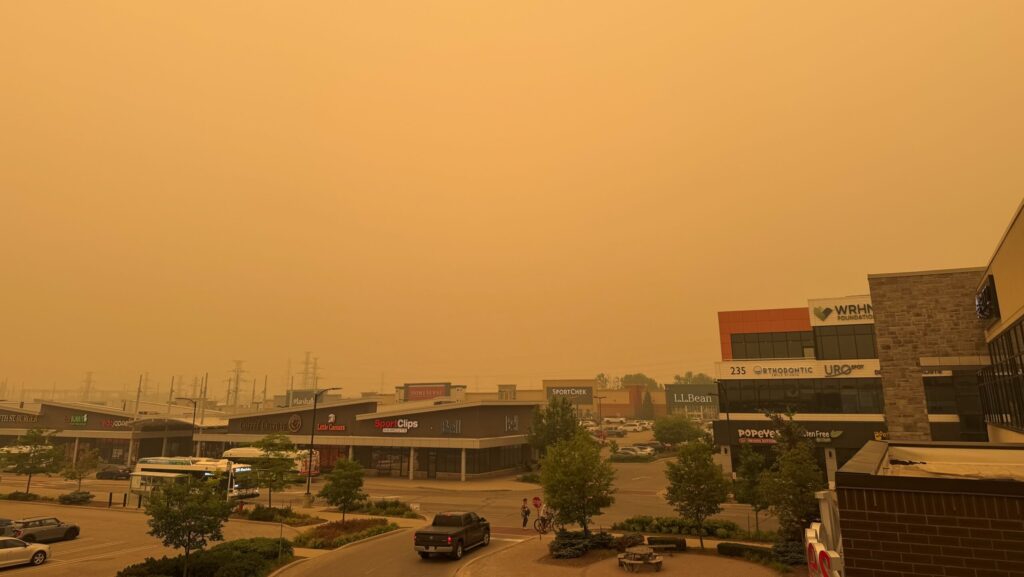
The skies are clear, but still smoky, as Environment Canada still has a yellow air quality warning in effect across the region.
With the air quality warning, it is recommended that you take precautions before heading out, especially if you are spending the day outside.
Environment Canada also warns that “air quality and visibility due to wildfire smoke can change rapidly over short distances, and from hour to hour.
Moving into next week that smoke is expected to continue clearing, and the health risk it carries is also dropping, with it becoming easier to safely enjoy outdoor activities once again.
The highs for today and moving into Monday are hovering around 25 C, then overnight on Monday you will see cloudy skies take over. That will bring a 40 percent chance of rain and a risk of a thunderstorm that carries into Tuesday.
Those clouds and a low chance of rain will stick around until late Wednesday, when skies are expected to clear overnight and into Thursday.
For the rest of the week, you will see the sun start to roll in and skies will stay clear, other than some partial cloud coverage moving into the weekend.
More on Weather