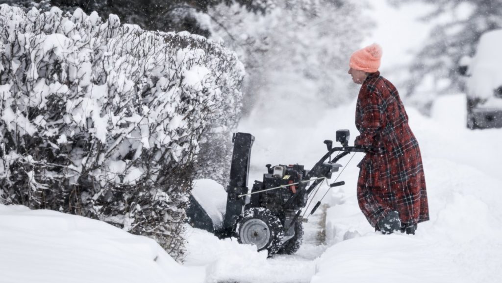
Snowy end to 2025: 10 cm expected through Monday, Tuesday
Posted Dec 29, 2025 07:13:09 AM.
Last Updated Dec 29, 2025 01:46:13 PM.
After a brief thaw seen across Waterloo Region, it’s looking to be a winter-filled wrap-up to 2025, with as much as 10 cm of snow expected to fall between Monday and Tuesday.
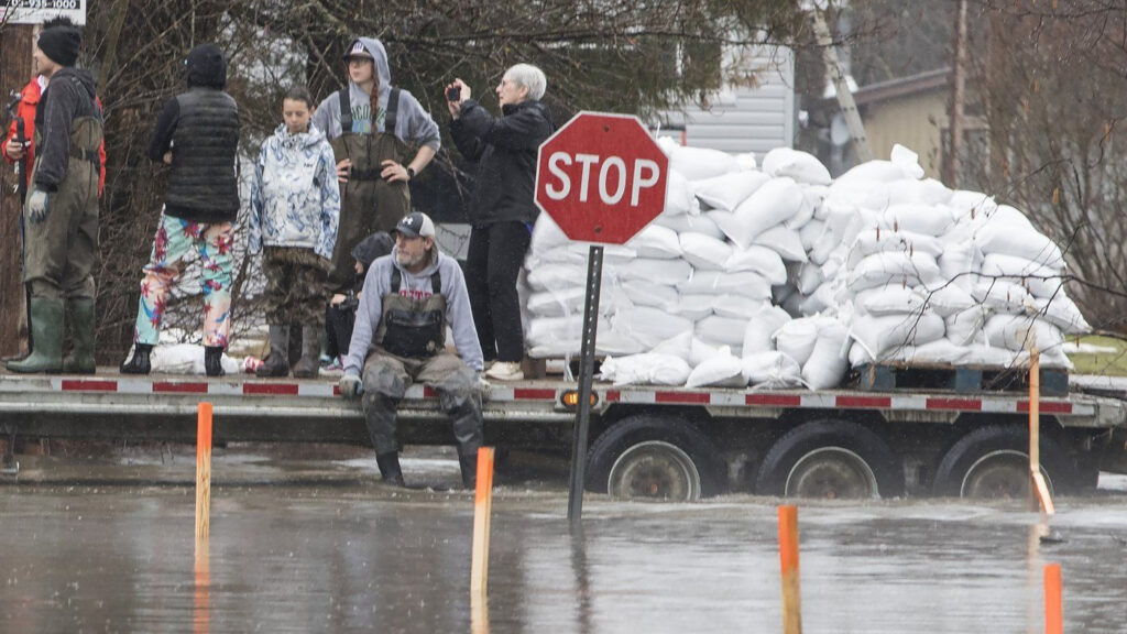
It comes not long after the region already battled through an intense bout of freezing rain, creating hazardous driving conditions on city streets, area highways, and Highway 401 over the weekend.
Now the region will take a shift back towards snow-filled weather, with snow and flurries expected between Monday afternoon and Saturday.
According to 570 Meteorologist Allister Aalders, the most intense bout will be at the beginning of the week, with a mix of high winds, freezing temperatures, and snowfall.
“After a mild night, falling temperatures today, down to -6 C by the afternoon, with a wind chill near -16 C,” Aalders stated. “Very strong southwest westerly winds gusting up to 70 km/h, at times 80 km/h today.”
Already, a pair of weather alerts are in effect across Waterloo Region, including a Yellow Warning for Winds as well as a Yellow Watch for Snowfall.
Aalders said it will create a wintery combination, meaning those scarves and mittens will get a real workout throughout the week.
“The strong winds, coupled with the cooler air, are developing lake effect snow,” Aalders said. “For Waterloo Region, that means flurries with a risk of snow squalls today and tonight.”
He stated that the region can expect to be hit with a wall of winter fairly early in the week, beginning by the time Monday afternoon rolls around.
“A risk of snow squalls today and tonight, locally Ffve to 10 centimetres. Further activity on Tuesday and, of course, higher amounts up in the snow belts. Light snow in the forecast for Wednesday, then a bit of a break on Thursday, but temperatures will be quite cold,” he said. “The daytime high is only -10 C.”
It adds up to what’s been a fairly positive winter so far for those local ski resorts, which have seen more snow accumulation compared with previous years.
While the snowfall will be fairly impactful across Waterloo Region, Aalders mentioned that the temperatures, in particular, will be sitting a bit lower than the seasonal average.
“The normal high for this time of year is -2 C, but for the next couple of days, well below seasonal. -6C on Tuesday, -7 C by New Year’s Eve on Wednesday, and then a high of only -10 C for New Year’s Day on Thursday, the temperature up to -6 C on Friday.”
It means it will be important to stay warm as the region kicks off 2026, but early forecasts still predict that it will be a fairly mild second half of winter, pushing further into the new year.