Significant freezing rain set to make for a wintry Wednesday
Posted Feb 17, 2026 05:57:37 AM.
Last Updated Feb 17, 2026 11:28:46 AM.
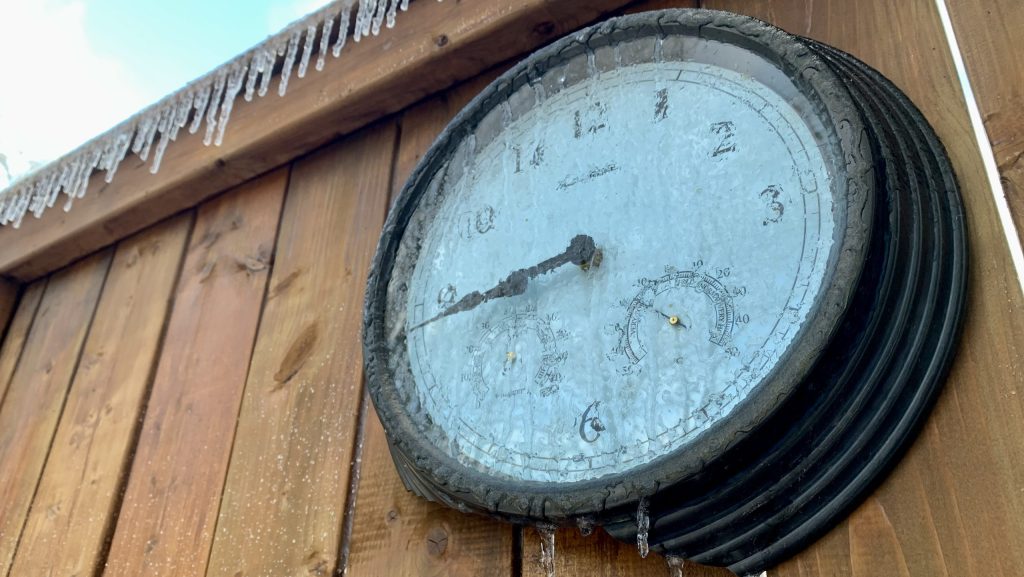
A wall of winter is returning with an orange warning for freezing rain in effect, calling for as much as 15 mm of ice accretion on Wednesday in Waterloo Region.
The warning from Environment Canada is also calling for as much as 5 cm of snowfall throughout the day, expected to create hazardous conditions on roads and walkways.
It said it expects the wave of winter to last throughout the afternoon before tapering off in the evening.
“Could be 5 to 15 millimetres of ice accretion,” said 570’s Meteorologist Allister Aalders. “At times, this precipitation could also be mixed with snow or ice pellets before it clears out into Wednesday evening.”
It’s not expected to be a light flash either, as Environment Canada currently expects the freezing rain to begin in the early morning, followed by “several hours of freezing rain leading to significant ice build-up.”
“What Waterloo region receives will be temperature dependent,” Aalders stated. “If we’re at or just slightly above the freezing mark, it’ll be more of a rain event. Just below freezing, it will be more of a significant freezing rain event.”
Already, some reminders have been issued for drivers, as the combination of ice build-up and possible snowfall could create plenty of hazards on the drive.
CLICK HERE TO LISTEN TO LIVE WEATHER COVERAGE!“Roads and walkways will likely become icy and slippery,” said Environment Canada in its freezing rain warning. “There may be a significant impact on rush hour traffic. There is a risk of injury due to slips and falls.”
It all comes after what’s been a week of spring-like temperatures for Waterloo Region. It appears that the return to winter could continue into the coming days.
The forecast is currently calling for cloudy skies and possible flurries throughout much of the week, with temperatures dipping back into the negatives once again, lasting into next week.