Snowfall warning ends for Waterloo region; flurries expected throughout the day
Posted Nov 30, 2025 06:37:45 AM.
Last Updated Dec 1, 2025 11:32:52 AM.
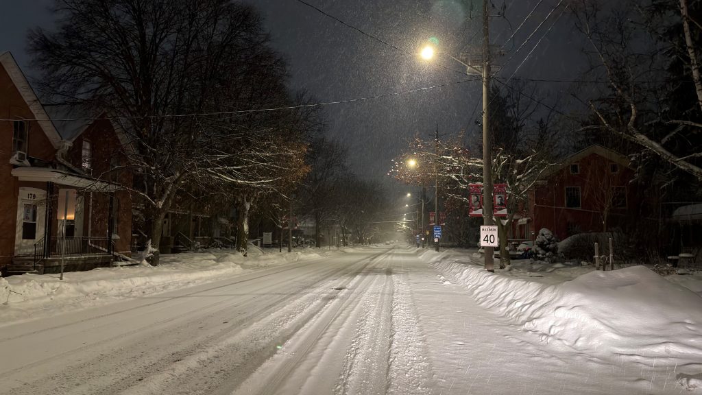
While the snowfall warning may have ended for Waterloo Region, people can still expect some accumulation throughout the day.
Environment Canada estimates between Saturday night and Sunday, the region will see an additional 10 to 15 cm.
Flurries, which may be mixed with rain, are forecasted to end this afternoon, before snow picks up again on Monday.
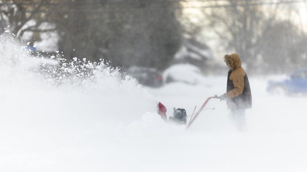
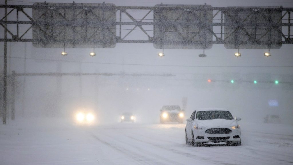
While no more weather alerts are in place, driving in the region is expected to be treacherous as snow is caked onto the roadway and blowing snow is impacting visibility, especially on local highways.
Carl Lam, 570 Meteorologist, said the snow will be steady throughout the day, and the wind will also be a factor, gusting up to 60km/hr by the afternoon.
“The winds during the day are coming in from the southwest, but as we go into the evening, the cold front will start to move through, and that’s when that colder air and northwesterly wind works its way through,” he said.
LAUNCH OUR EXTREME WEATHER CENTRE FOR FULL COVERAGE!The daily high for the day is 1 C, but Lam notes that wind chills will make it feel closer to -12.
Snow events are still in effect for several cities and townships across the region, including Waterloo, Kitchener, Cambridge, Wilmot, Woolwich and Wellesley. The City of Waterloo has said its snow event and parking ban will be in place until at least Monday at noon. The City of Kitchener extended its until 3 p.m. Monday.
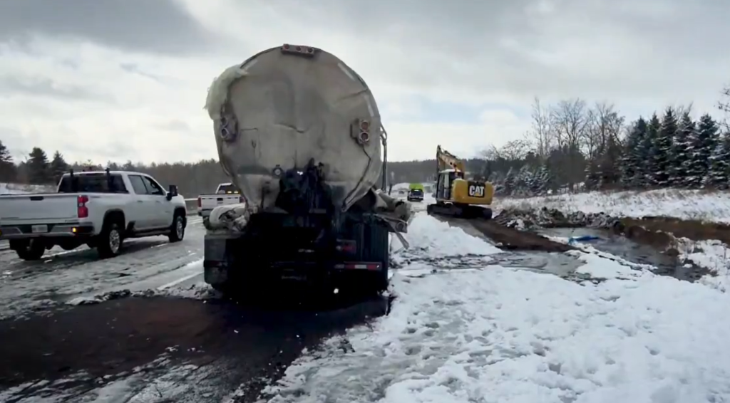
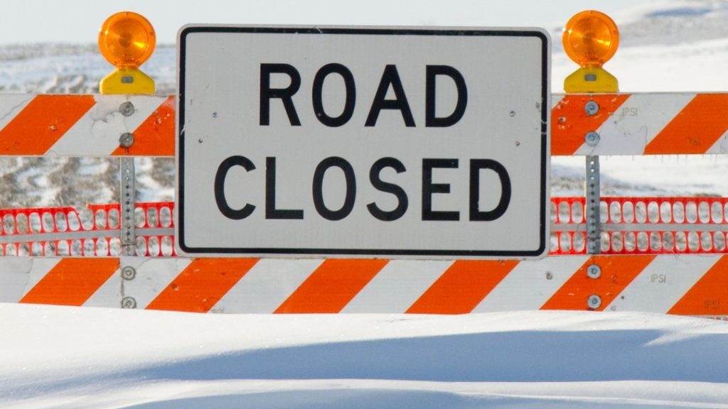
The blast of winter weather from Friday brought well over 30 cm of snow during the day, with Environment Canada Meteorologist Rob Kuhn reporting 33 cm of snow in the Stanley Park area of Kitchener by 2 p.m. that afternoon. Several closures were in effect as well, including a portion of the westbound 401 near Drumbo.
Stay tuned to 570 News Radio for the latest on traffic and weather together on the ones.