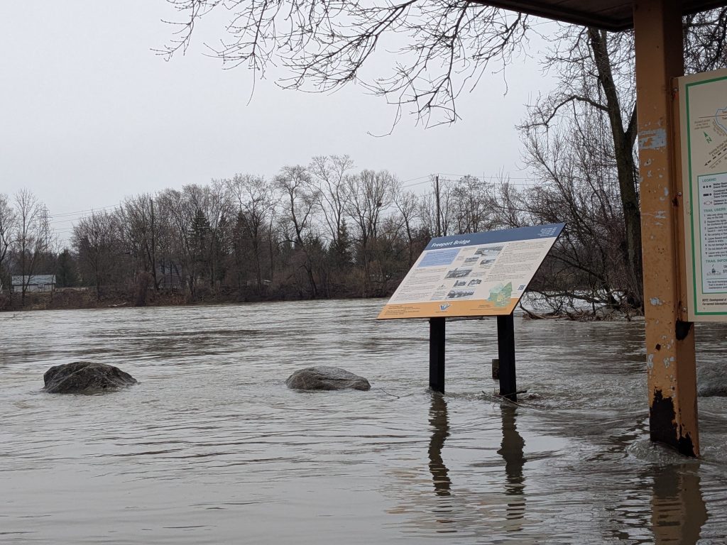
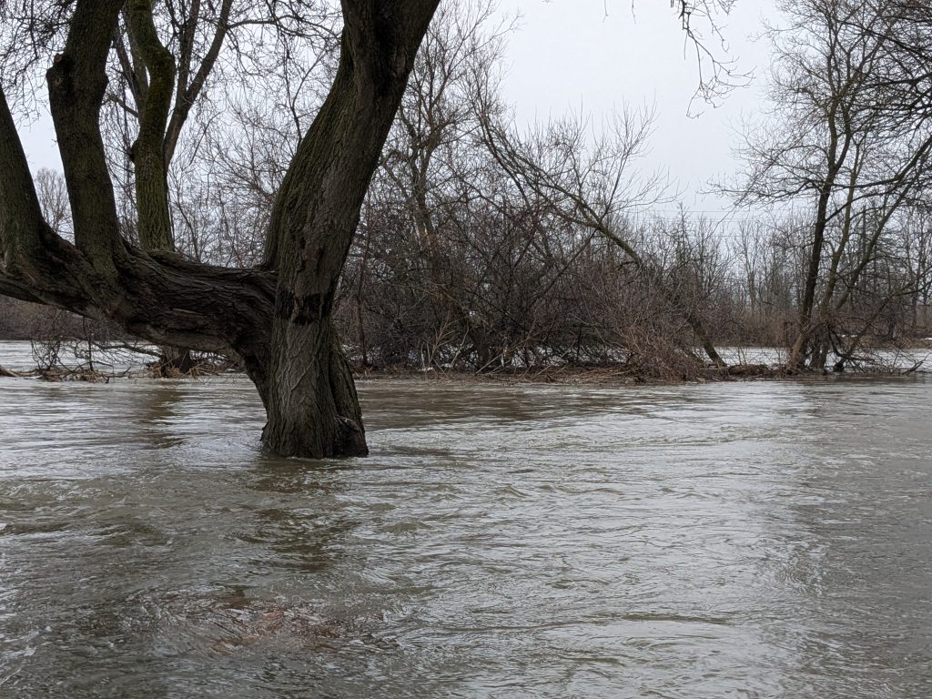
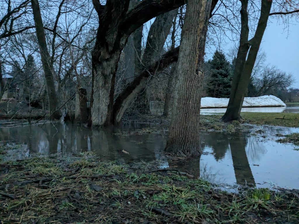
Rivers overflowing into Waterloo Region parks amid rainstorms
Videos show the Grand River in a portion of Kitchener flooding into low-lying areas of Schneider Park. (Credit: Josh Piercey/CityNews)
Posted Mar 11, 2026 03:08:39 PM.
Last Updated Mar 11, 2026 03:12:30 PM.
The ground is saturated and not able to take on the rainfall expected to continue on Wednesday in the region.
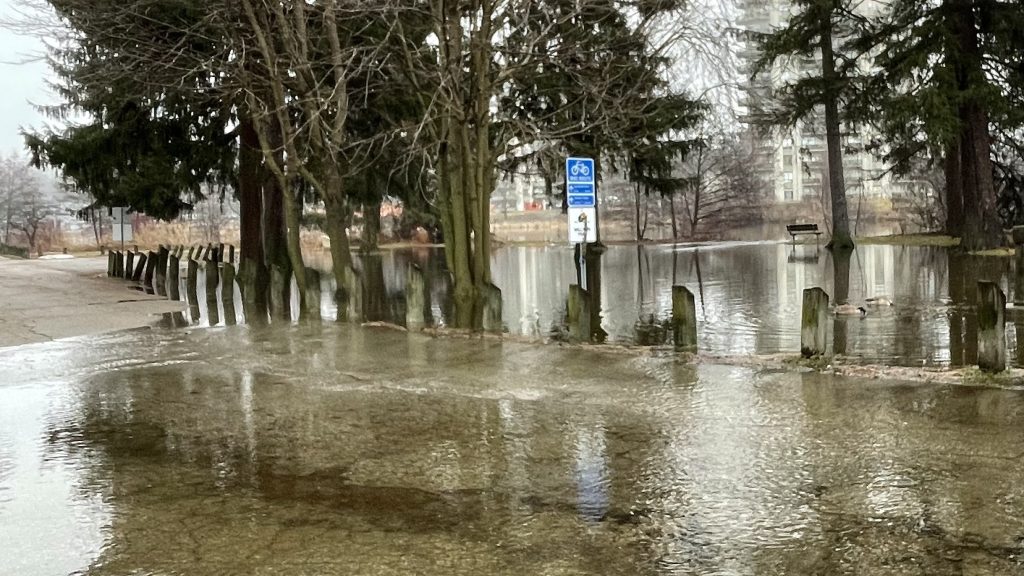
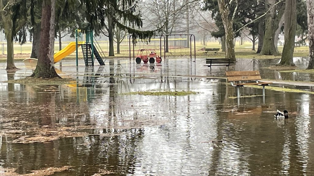
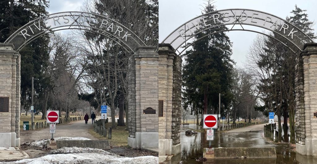
Rivers were already high across the watershed from a rapid snowmelt followed by sizable rain showers last week, which created flooding in Waterloo Region. The weather authority called for as much as 40 mm of precipitation, with areas directly affected by thunderstorms potentially receiving more.
Waterways in the municipality are bursting at the banks, spilling into areas like parks.
Here’s a collection of images showcasing the flooding in the region on March 11.


Add CityNews Kitchener as a trusted source on Google to see more local stories from us.