Cold conditions for Waterloo Region extend into February
Posted Feb 1, 2026 06:45:41 AM.
Last Updated Feb 1, 2026 11:20:28 AM.
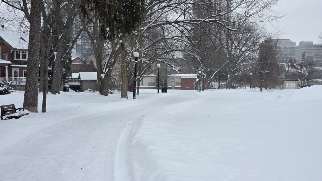
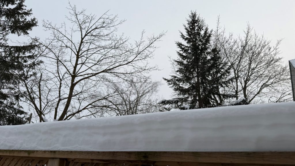
The calendar may read February, but the thermometers across Waterloo Region are still reading extremely cold temperatures.
Environment Canada issued a yellow cold warning early Sunday morning, before being pulled around 11 a.m. Sunday’s high is -10 C with the wind chill making it feel like -15 in the afternoon.
On the bright side, the sun will be out and shining throughout the day. But do not let that fool you, as the cold and wind will hit you right in the face.
Frostbite is possible, especially with exposed skin, so be sure to have those layers handy.
Keep an eye on older relatives and your pets, and watch for signs of extreme cold including a numbness, colour change, pain or swelling on fingers and toes.
Monday is expected to bring a mix of sun and cloud and then some light snow in the afternoon. The chance of flurries will continue into Tuesday, with a high of -6 C, before the sun returns on Wednesday bringing a high of -8 C.
Cold warnings have been in effect for several days across the region nearing the end of January. Last month also saw a large amount of snowfall, with initial estimates from Environment Canada measuring around 80 cm had fallen.
Stay tuned to 570 News Radio for the latest on traffic and weather together on the ones.