‘Fair amount of winter to go’: Cold and snowy February ahead
Posted Jan 27, 2026 05:00:00 AM.
Last Updated Jan 27, 2026 11:16:51 AM.
The calendar switches to February on Sunday, but it doesn’t look like this punishing winter is easing up any time soon.
Environment Canada meteorologist Geoff Coulson said the dangerously cold temperatures will be the main story of the upcoming month.
“Even as we head into February, some of the long-range forecast models indicate the month of February is far colder than normal conditions right across southwestern and south central Ontario,” he said.
For the last few days of January, the daytime highs are expected to be only -10 C to -12 C, well below the average high of -3 C.
It won’t just be the cold keeping us inside next month.
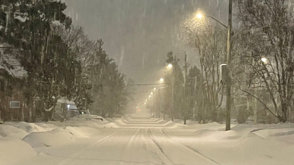
Coulson said Waterloo Region can expect some significant lake effect snow from Lake Huron.
“Larger-scale storm systems are still a possibility, similar to the one that gave the snow on Sunday to much of the area,” said Coulson.
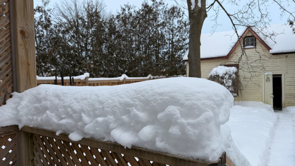
Snow totals in Waterloo Region have already eclipsed long-term averages.
“So, unfortunately, for those who may not be fans of winter, it looks like we have a fair amount of winter left to go.”
Last February was a snowy one in Waterloo Region, with nearly 78 cm of snowfall.