Heavy snow, winds to areas near Waterloo Region; tail-end effects felt locally
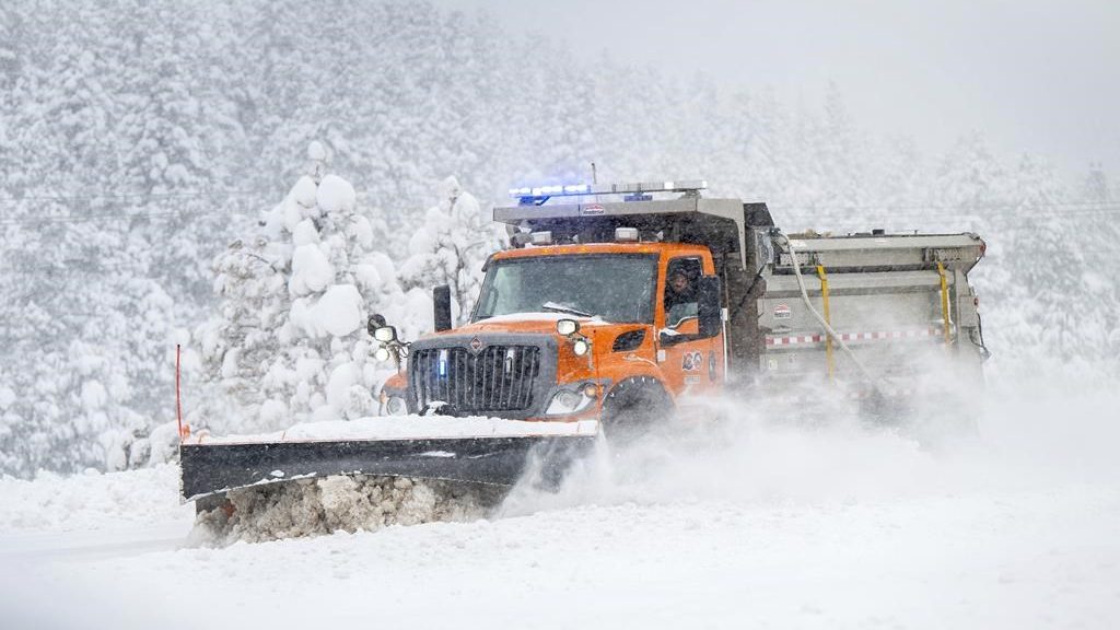
Posted Nov 29, 2024 07:48:40 AM.
Last Updated Nov 29, 2024 11:27:52 AM.
Even though it’s still autumn, the first gusts of winter will blow through Waterloo Region this weekend, with strong winds, cold temperatures and snow on the way.
The region will feel the tail-end effects of significant lake-effect storms hitting communities along Lake Huron and Georgian Bay on Saturday and Sunday.
Locally, a dusting of snow on Friday and Saturday will be followed by up to 10 cm of snow on Sunday.
Winds could gust to 60 km/h from Friday through to Sunday, and wind chills between -5 C and -10 C are expected.
“The hardest-hit areas are going to be communities outside of Kitchener and the Region of Waterloo, but we have that potential for a few rogue bands of snow to impact us here,” explained 570 Weather Specialist Denise Andreacchi.
According to Environment Canada, snow squalls could pelt Perth County, Huron County, Grey County, Wellington County, Muskoka, and Parry Sound. Warnings are in effect for those areas, and according to Andreacchi, as much as 100 cm of snow could fall between Friday and Sunday.
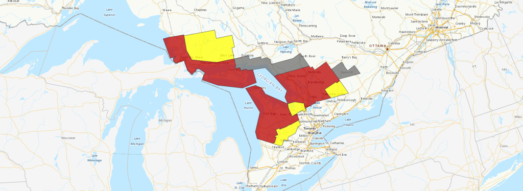
Heavy snow along with strong winds could cause near-zero visibility for drivers.
“If you must travel, keep others informed of your schedule and destination and carry an emergency kit and mobile phone,” explained a statement from Environment Canada.
In Waterloo Region, light flurries are expected to continue into Wednesday.


