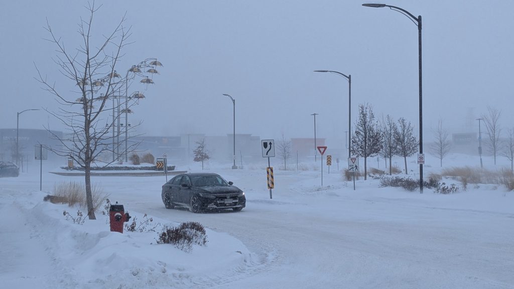
Abnormal temperature trend expected in Waterloo Region
Posted Apr 3, 2023 02:40:31 AM.
If you see an asterisk next to the temperature on an Environment Canada forecast, it’s not because they are unsure of themselves.
As of Friday afternoon, there is an asterisk next to the expected high in Kitchener-Waterloo for Saturday.
Warning Preparedness Meteorologist Steven Flisfeder said that it represents an abnormal temperature trend.
“In this case, [Saturday], we’re going to have the daytime high occurring very early in the day, probably in the wee hours of the morning before most people are even awake. Then we’ll see a temperature drop throughout the day, so that 11 degrees, as the asterisk suggests, is probably not going to be felt by most people.”
Flisfeder confirmed with CityNews 570 that after the temperature drop due to a cold front approaching the area passes through, Waterloo Region will return to a regular temperature trend.
“That means the daytime highs should occur later in the day, afternoon, or early evening, and then lows continuing to drop throughout the rest of the evening and overnight.”
Flisfeder also explained what sort of conditions the region can expect during the uncommon weather event.
“Through the overnight, you’ll be seeing those temperatures begin to rise even more. There will be showers and even potential for some lightning throughout the night as well. That chance of showers is going to continue through to the early morning.”
He added that the possible thunderstorms from Friday night into Saturday morning could also bring some very gusty winds, and warns the public to be mindful of them.
Flisfeder said that once the rain is clear, the cold front will come through and cause that drop in temperature throughout the day. It could even bring flurries Saturday night.
As for Sunday, Environment Canada predicts a fairly nice day with mainly sunny conditions and a typical seasonal high of five degrees.