Messy weather persisting in Waterloo Region with snow, fog, rain and wind
Posted Mar 5, 2025 01:26:07 PM.
Last Updated Mar 5, 2025 06:34:18 PM.
A statement two advisories are blanketing Waterloo Region on Wednesday through Thursday for rain, snow, fog, and strong winds in the area.
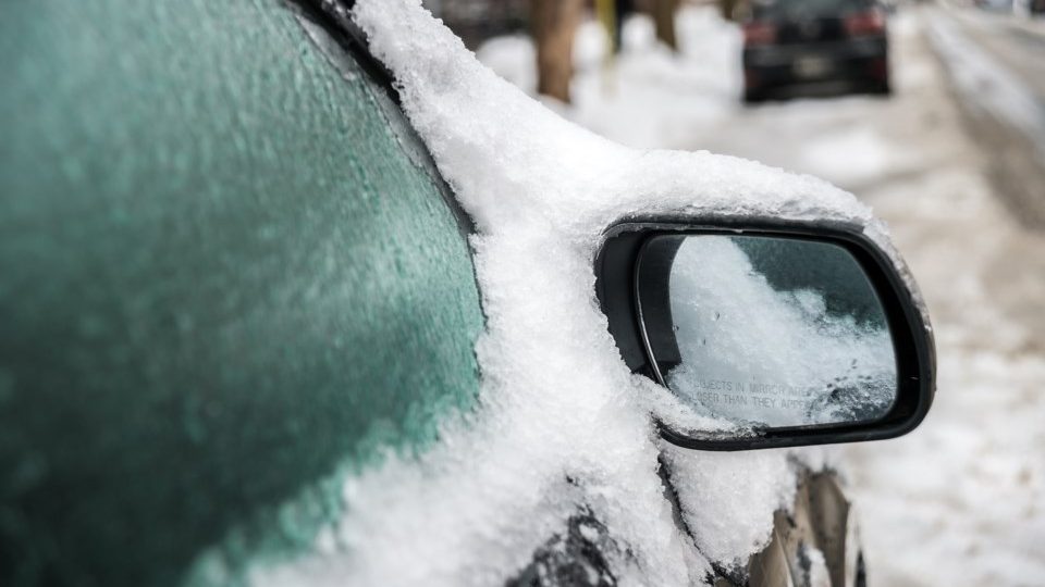
Environment Canada issued the first statement Tuesday afternoon for rainfall and the increased risk of flooding. The weather agency said that the melting snow, which the region has a snow pack of 191 cm, combined with the inability for the frozen ground to absorb the water, could prompt localized flooding.
It is possible that by the time the storm subsides, up to 25 mm of rain could have fallen. This is due to the temperatures hovering around 0 C, which Environment Canada says is going to change Wednesday night. Dense fog also developed late Wednesday but is expected to dissipate near midnight when winds pick up.
“Rapidly falling temperatures, strong winds, snow and blowing snow tonight into Thursday,” the statement reads.
This change prompted a weather advisory to be issued for the region. With the rain and cold returning, Environment Canada says ice will form making for treacherous roads and sidewalks.
It is possible that around 2 to 4 cm of snow could fall overnight into Thursday.
“Over exposed areas, reduced visibility due to local blowing snow could persist into Thursday evening,” the weather advisory notes.
This comes just as crews in the Tri-cities finished cleaning up from the back-to-back February storms. Kitchener, Waterloo and Cambridge have ended the significant weather events which were called to help keep roads and sidewalks clear while teams worked to lift and remove snow.