Cold weather trends in the region set to continue throughout February
Posted Feb 4, 2025 10:59:15 AM.
Last Updated Feb 4, 2025 11:51:59 AM.
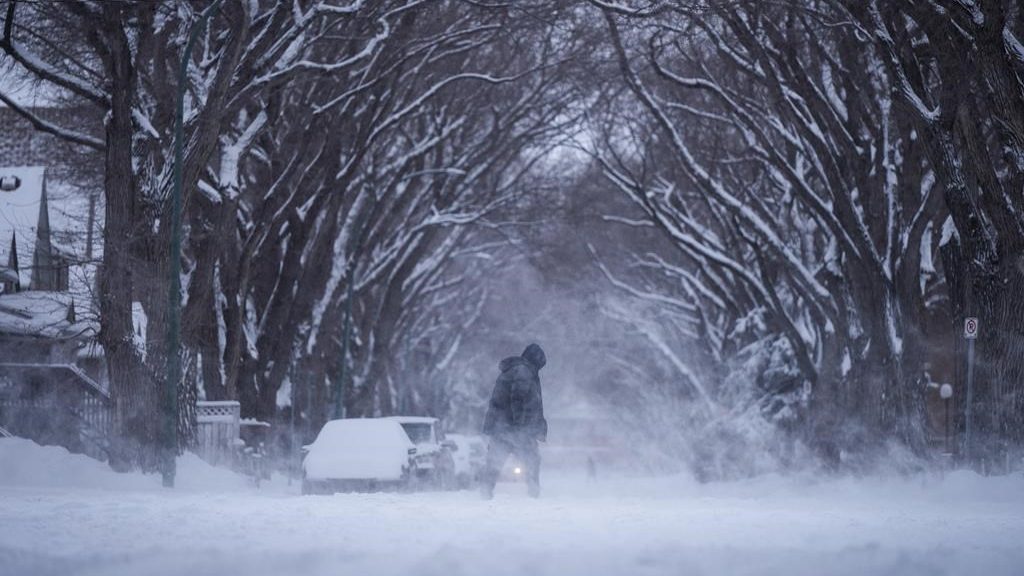
Waterloo Region is still recovering from a frigid and snowy January, but weather experts are forecasting more cold weather and systems of snow in the next few weeks.
For the first time since August 2023, recorded temperatures last month were below average. The average daily high was just -3.5 C, and the average low was -11.5 C.
According to stats from the University of Waterloo’s E.D. Soulis Weather Station, temperatures recorded in Waterloo Region this January were some of the coldest in almost three years, with temperatures dropping below -20 C for three straight days from Jan. 20-22.
The weather station recorded nearly 70 cm of snowfall over the month, well above the average of just over 43 cm.
According to Peter Kimbell, meteorologist with Environment Canada, those systems of snow are set to continue pelting Waterloo Region.
“What we’ve seen lately is a fairly active jet stream, and that means one system after another,” explained Kimbell. “I would expect that the precipitation will be at least average for the next week or two.”
Despite the snowfall, January was a fairly dry month overall. Precipitation amounts were just under 48 mm, that’s well under the average of just over 70 mm.
The cold weather is set to continue into February. Unlike Wiarton Willie, meteorologists anticipate more cold weather with no end to winter in sight.
“We don’t see any warm air in store really for the next little while,” said Kimbell. “We have one system after another.”