Lake effect not typically snow source in Waterloo Region: Environment Canada
Posted Jan 15, 2025 05:44:07 AM.
Last Updated Jan 15, 2025 11:12:04 AM.
When it comes to snowfall in Waterloo Region, there are a number of contributors but one of them isn’t typically the lake effect.
This type of snow occurs when cold air crosses a body of open water. It picks up moisture which is released as snow as the air moves over land and higher elevations.
It’s one of the reasons why places like Buffalo, N.Y. and the Muskoka region are susceptible to the lake effect.
Last month, Gravenhurst, Ont. saw around 140 cm of accumulation over two days. That was directly a result of lake effect snow.
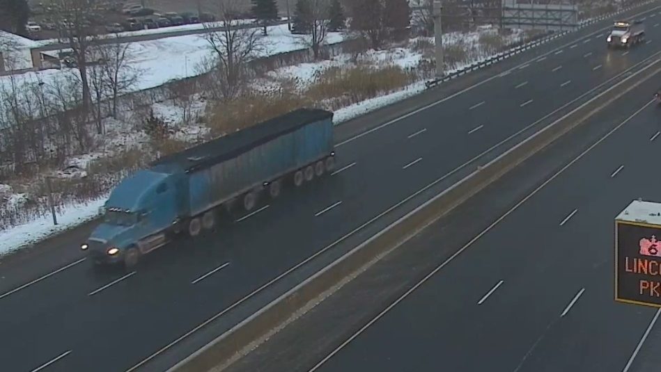
Here in Waterloo Region, there has been a fair amount of snow this winter. Especially when compared to last season, but, it pales in comparison to other parts of the province.
While speaking on The Mike Farwell Show, Environment Canada Climatologist, David Phillips said that Waterloo Region sits at the tail end of many lake effect storms so the impacts aren’t as severe. He said this year, some of the other weather events that typically bring heavy snowfall to the region haven’t happened.
“Kitchener snowfall totals are down a bit because they (winter storms) aren’t lake effect. But, there are none of these Alberta clippers, Colorado lows, Texas panhandle storms that come in and bury Ontario from Windsor to Ottawa with very widespread snow.”
Phillips points to the warmer-than-usual fall and early winter as another reason why lake-effect snow events have been severe this year. He said he believes a warming climate will actually lead to more lake effect storms and heavier snowfall because the lakes won’t freeze over.
“What shuts the lake effect snow down is the freezing over of the Great Lakes. As soon as that freezes over, all of a sudden it acts like a landmass. There are no moisture sources,” Phillips said.