Milder weather moves in for last week of February
Posted Feb 24, 2025 06:57:39 AM.
Last Updated Feb 24, 2025 11:04:39 AM.
This is the week when people can finally say goodbye to February.
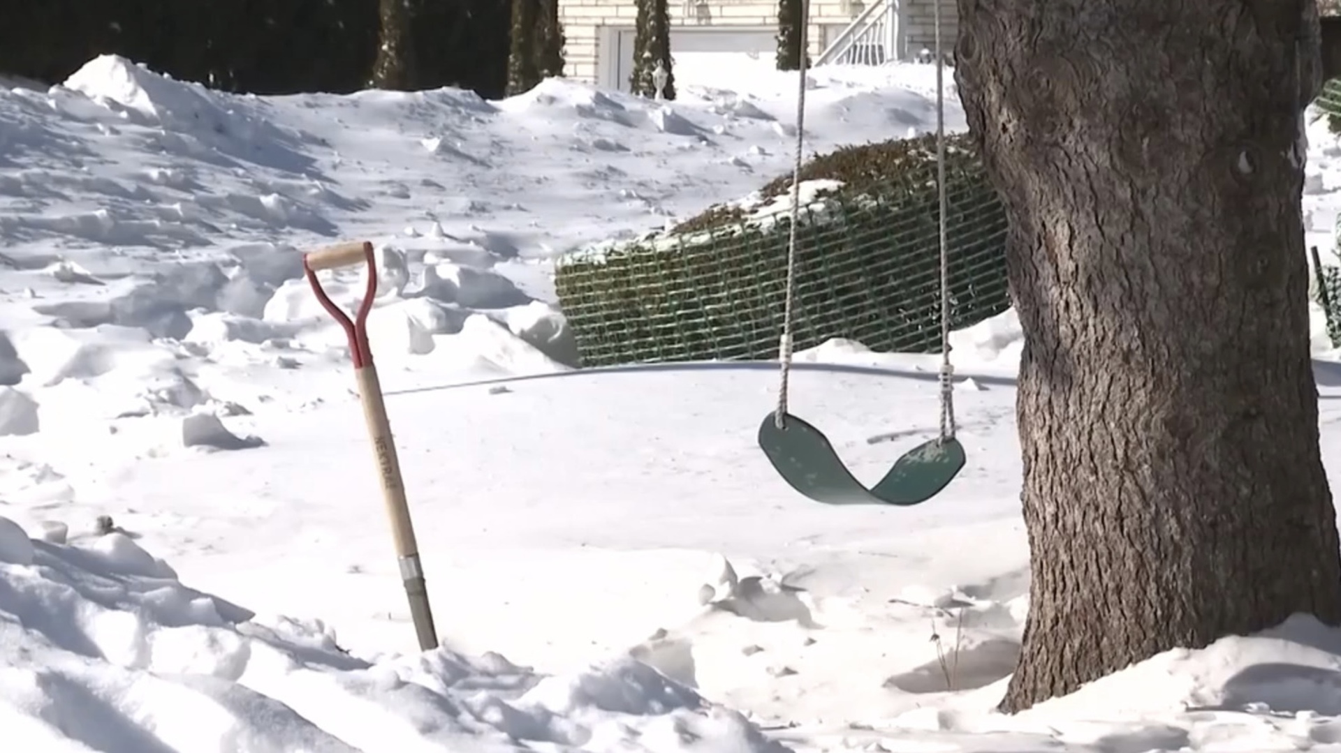
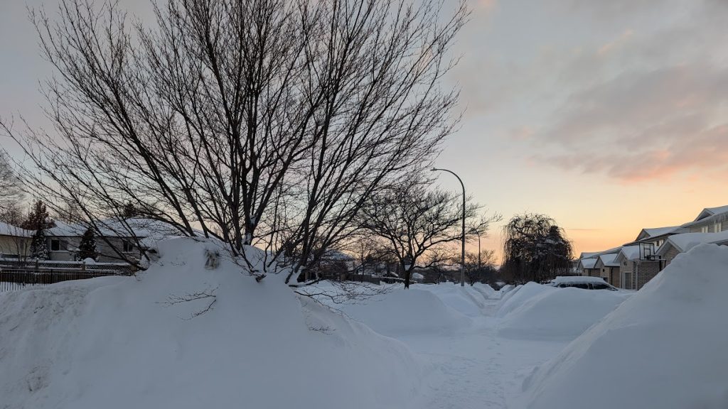
The last week of the chilly and so far, very snowy winter month, is set to wrap up with above-zero temperatures and rain.
Jill Taylor, 570 NewsRadio Meteorologist, is calling for highs of up to 4 C Monday through Thursday.
The warmer weather may lead to some melting of those massive snow banks around Waterloo Region and around the Grand River Watershed.
Manager of Flood Operations with the Grand River Conservation Authority (GRCA) Vahid Taleban, said there are no flooding watches or warnings as of Monday morning, but that doesn’t mean there are “zero” flood concerns.
“We are at the mercy of Mother Nature here … If the temperature patterns are going to be as the forecast is showing, we’re expecting some response, though it is unclear how strong that response is going to be … It is never possible to identify the exact extent of flooding.”
Related
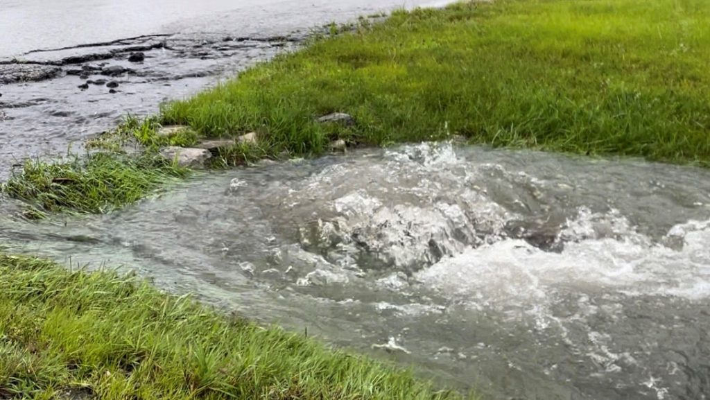


Taleban noted that the amount of snow in the snow packs right now is about the equivalent of a month’s worth of rain.
“If we see a rapid melt, it will be as if we see a month’s worth of rain in one day.”
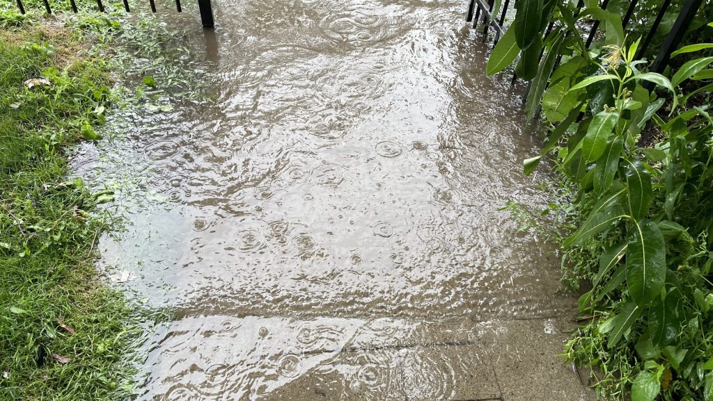
He stressed this is the case when it comes to riverine flooding concerns, not urban flooding (from the snow on city streets, sidewalks, and parking lots), which would be addressed by municipalities.
When it comes to flood watches and warnings, Taleban said the biggest issues arise when there are massive temperature swings, similar to what happened in 2018, when temperatures went from double-digit negatives to 15 C, overnight.
The slightly warmer weather won’t last for long.
Taylor is calling for the snow and cold to make a return for the first weekend of March.
Spring starts March 20 at 5:01 a.m.