Wind chills near -20 expected by Thursday in Kitchener-Waterloo
Posted Jan 13, 2026 03:24:55 PM.
Last Updated Jan 13, 2026 03:53:48 PM.
Waterloo Region residents will experience a dramatic weather shift over the next 48 hours as an Alberta Clipper moves through southern Ontario, bringing a brief mix of precipitation before ushering in the coldest air of the season so far.
The system is producing wet flurries mixed with rain showers across the region Tuesday. However, no accumulation is expected in the Golden Horseshoe due to temperatures sitting around 1 C . Precipitation is expected to taper off, roughly between 6 and 8 p.m., continuing overnight into Wednesday morning.
A cold front will move through on Jan. 14, bringing heavier flurries to the region. Temperatures will begin falling during the afternoon, followed by on-and-off precipitation.
At the same time, lake-effect snow will intensify across traditional snow belts around Georgian Bay. However, in the region, expected accumulation is around 2 to 4 centimetres.
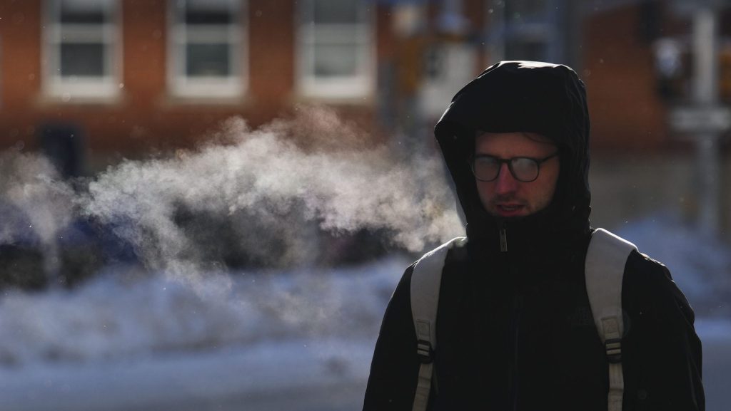
By Wednesday evening, temperatures will drop to around – 5 C, with wind chills near -13.
Overnight it could feel as cold as -24 with the wind.
Coldest conditions of the season
Thursday morning is expected to bring the coldest conditions of the season so far.
This cold air mass is expected to persist through the end of the month.
An Alberta Clipper is a fast-moving low-pressure system that comes from Alberta and moves through the Plains and the Great Lakes region during the winter. It usually brings light snow, strong winds and colder temperatures along with it.
With files from CityNews’ Natasha O’Neill.