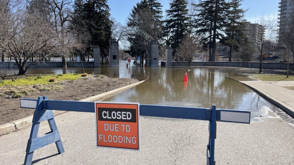
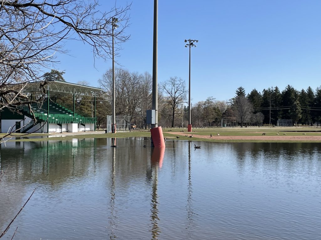
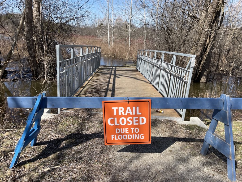
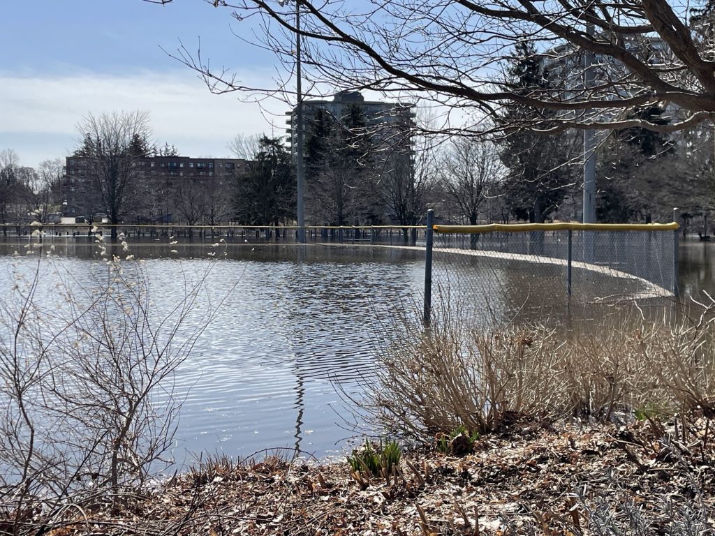
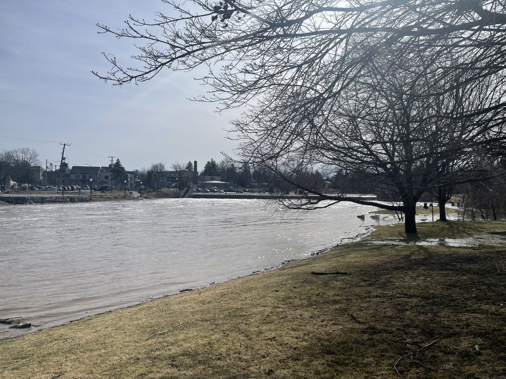
Huge puddles,riverbanks overflowing and hectic driving in the GTA; all a result of a spring wintry storm that dumped 40 to 80 millimetres of precipitation on Waterloo Region.
The result of the double whammy systems that passed through the region first with snow, then freezing rain, finishing off with rain, has prompted flooding concerns from the Grand River Conservation Authority (GRCA). The authority issued warnings for both Kitchener and Cambridge areas due to fast-moving water and overflow.
The aftermath of the systems has resulted in a mess across Waterloo Region.
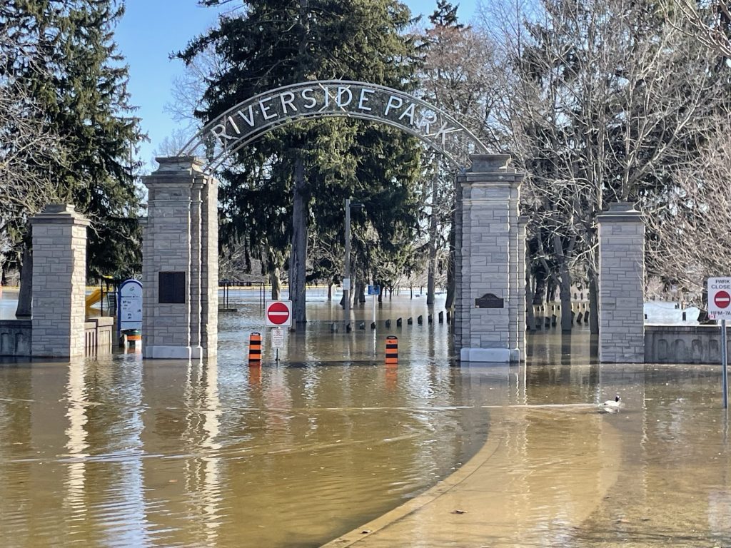
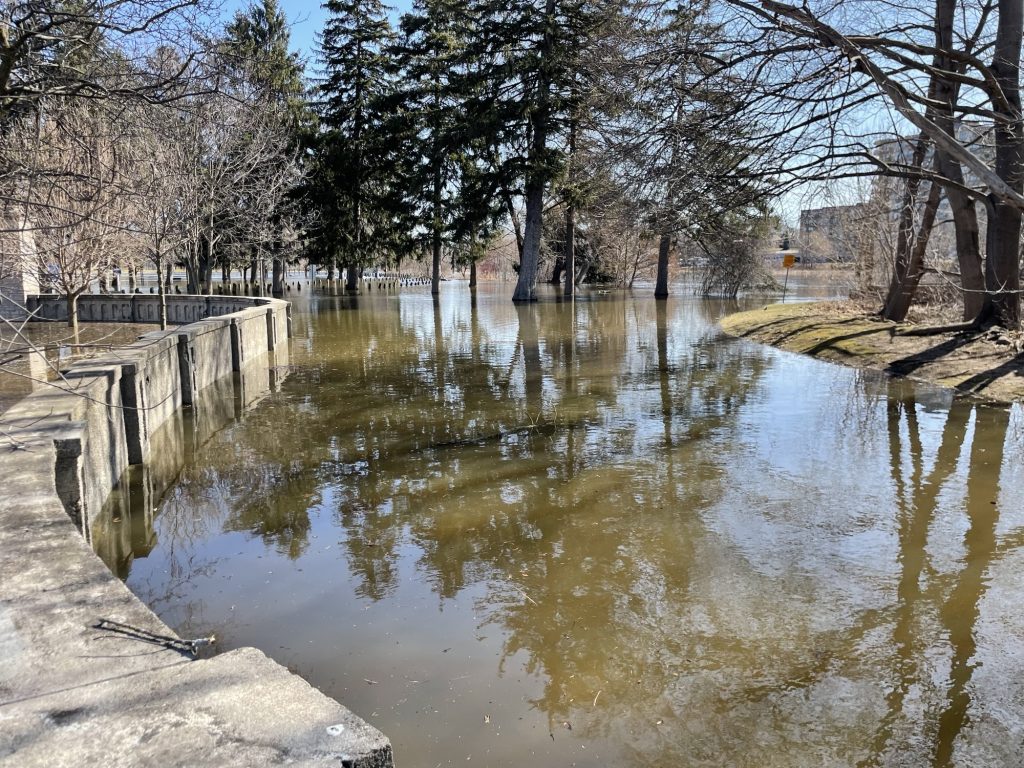
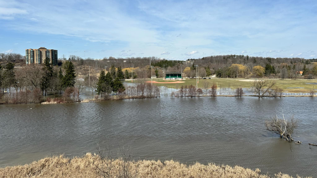
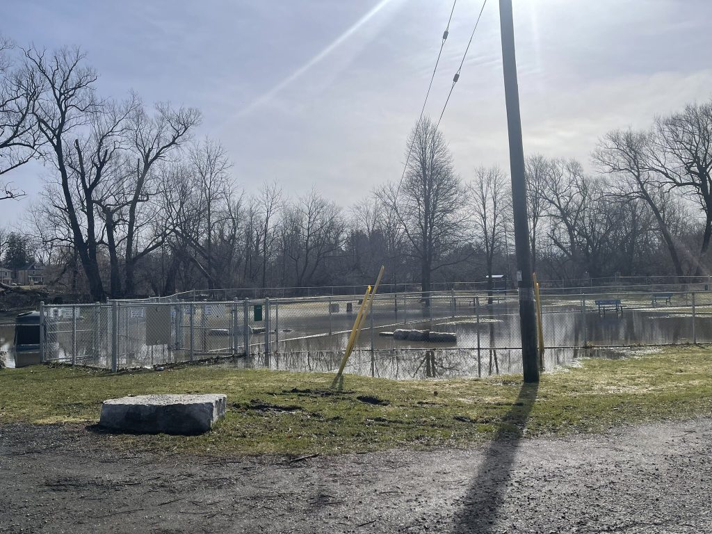
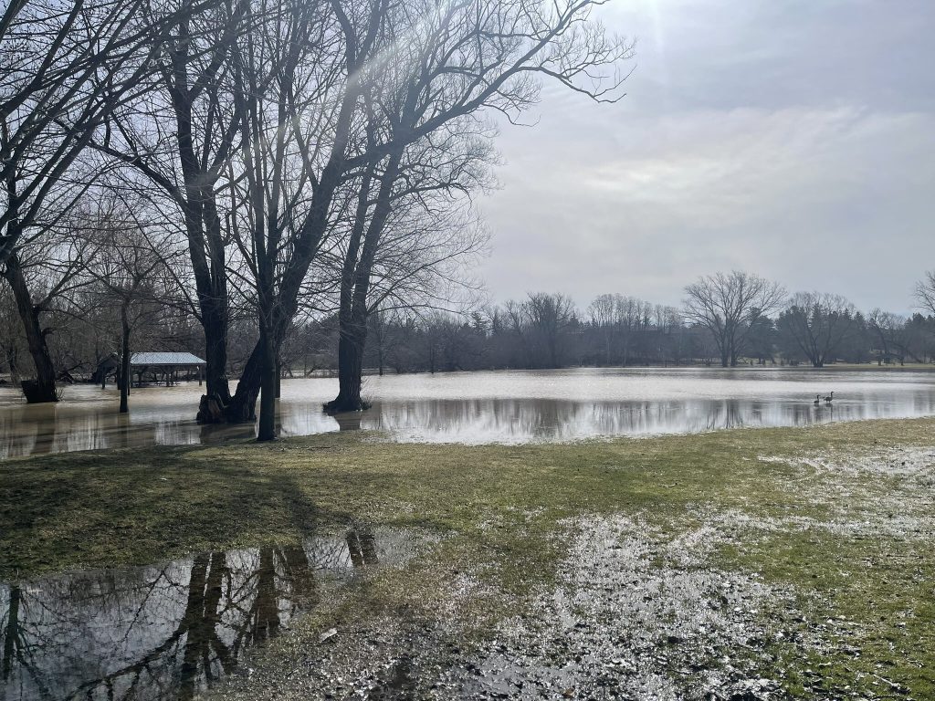
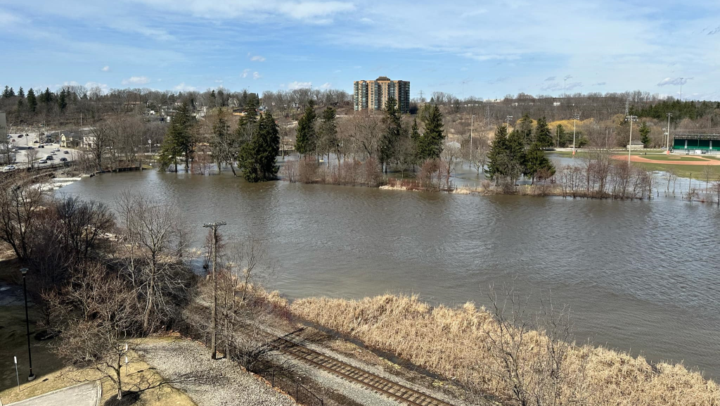
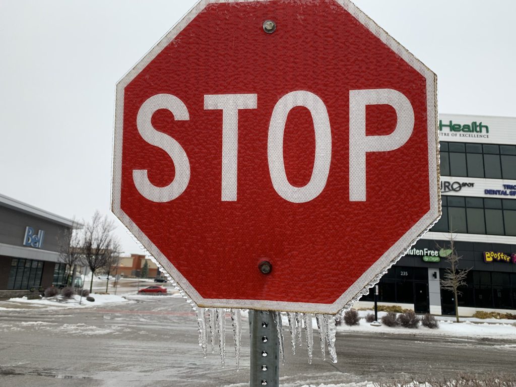
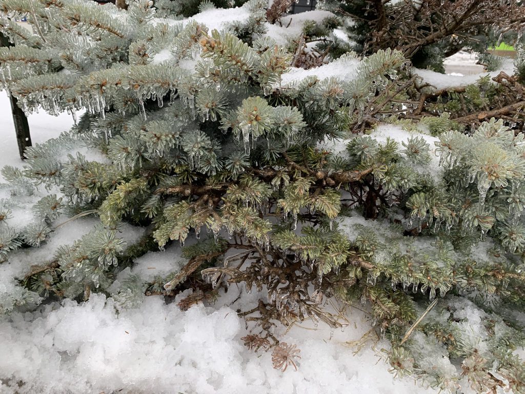
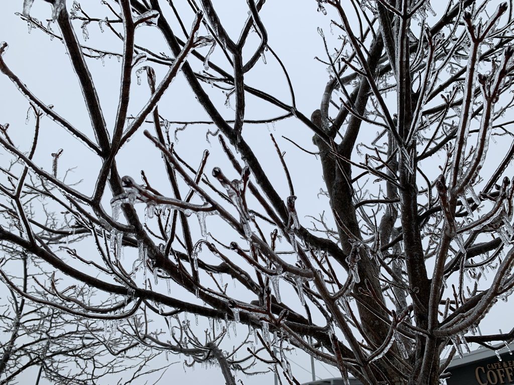
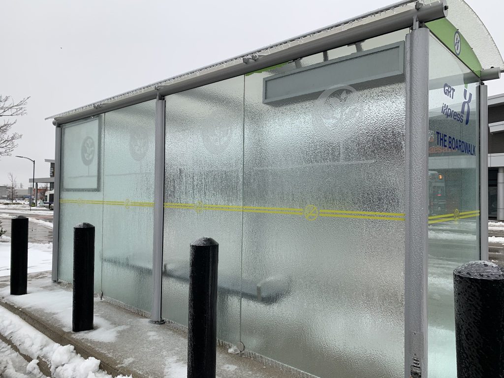
Major flooding at Riverside Park in Cambridge on April 4. (Mark Douglas/ CityNews)Trail closed sign near Speedsville Road entrance to Riverside Park on April 4. (Mark Douglas/ CityNews)(Mark Douglas/ CityNews)Playground area closest to King Street is completely immersed on April 4. (Mark Douglas/ CityNews) Flooding in Riverside Park on April 4. (Mark Douglas/ CityNews)Flooding in Riverside Park in Cambridge on April 3, 2025. (Submitted photo: Daniel Carreon) The Nith River is back to rising levels and Scott Park. (Josh Goeree/ CityNews)The Nith River is back to rising levels and Scott Park. (Josh Goeree/ CityNews)Flooding in Riverside Park in Cambridge on April 3, 2025. (Submitted photo: Daniel Carreon) The region was first hit with freezing rain on April 2, 2025. (Erin Anderson/CityNews)The region was first hit with freezing rain on April 2, 2025. (Erin Anderson/CityNews)The region was first hit with freezing rain on April 2, 2025. (Erin Anderson/CityNews)The region was first hit with freezing rain on April 2, 2025. (Erin Anderson/CityNews)The Nith River is back to rising levels and Scott Park. (Josh Goeree/ CityNews)
Keep it Factual
Add CityNews Kitchener as a trusted source on Google to see more local stories from us.