Snow then 30-50 mm of rain possible in Waterloo Region
Posted Apr 2, 2025 06:37:11 AM.
Last Updated Apr 2, 2025 01:28:01 PM.
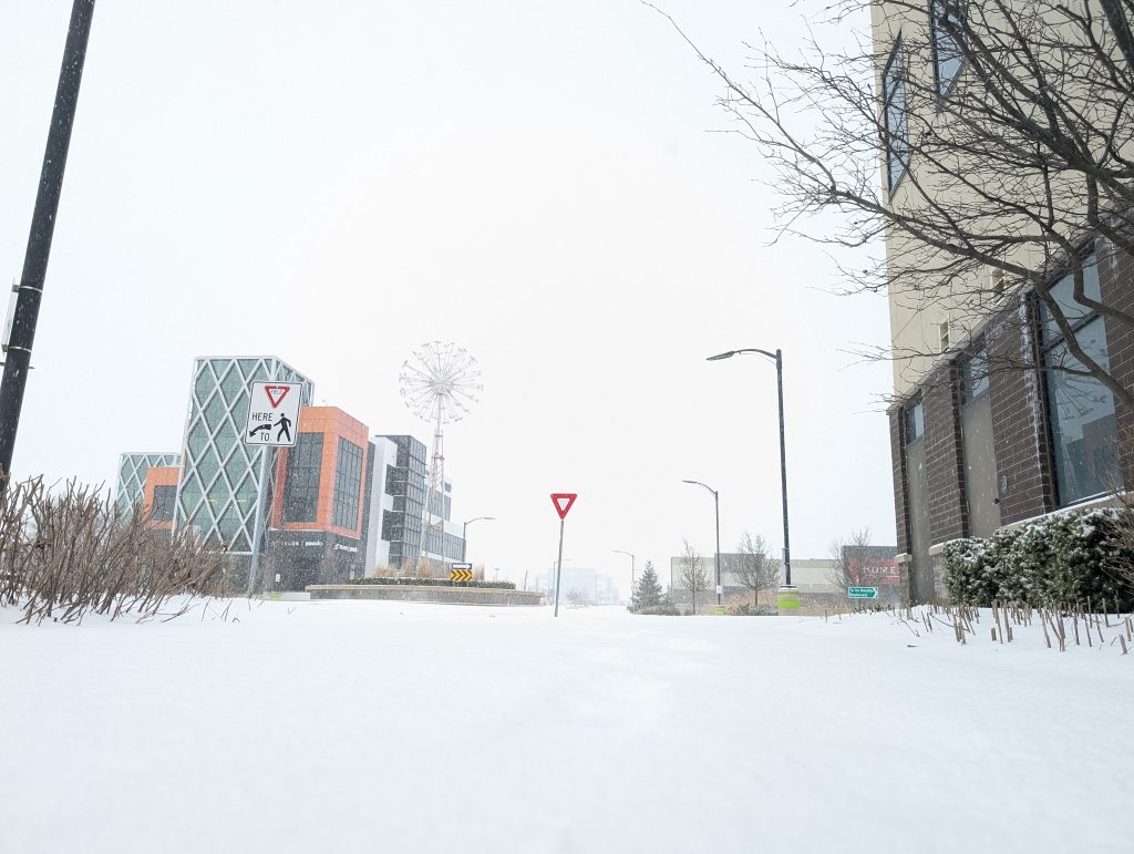
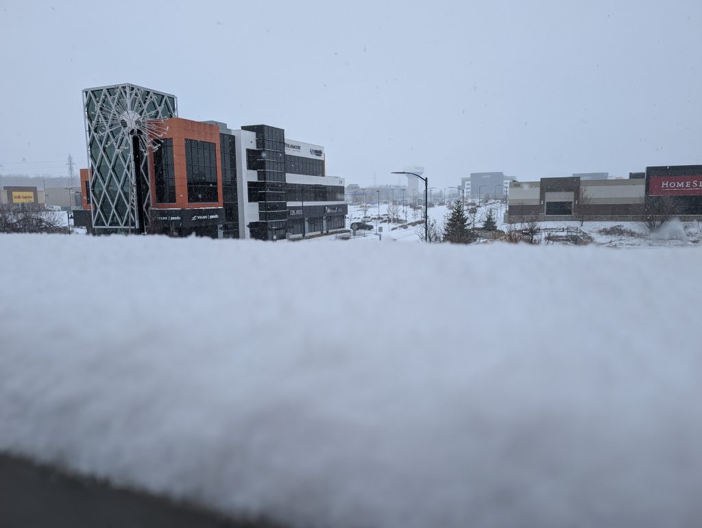
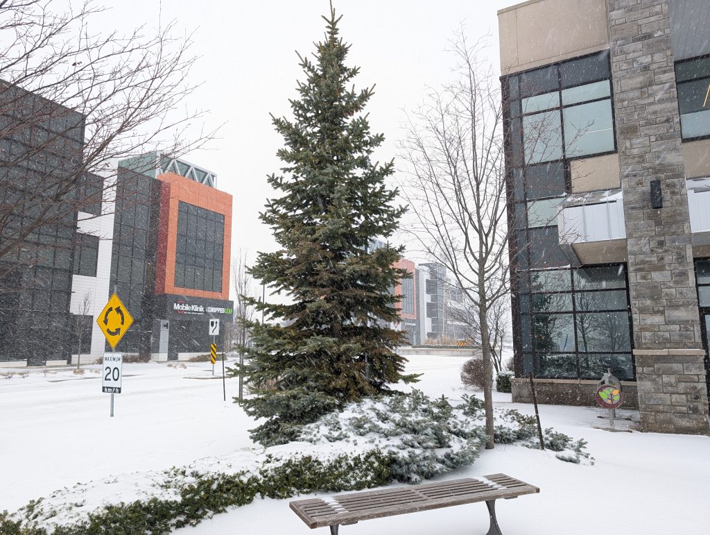
Just when you think winter is over, it pulls a U-turn and throws more snow and freezing rain at region.
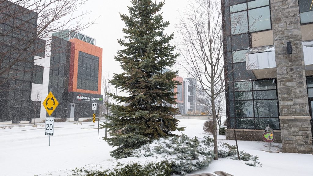
Wednesday’s forecast is complicated and includes snow, rain, freezing rain and even thunderstorms, as well as a significant shift in temperatures. Inclement weather started just after 8 a.m. with snow. It’s possible as the temperatures shift the precipitation could fall as ice pellets.
Environment Canada believes the snow will turn into freezing rain, with around 4 mm of ice build-up possible on local surfaces, including roadways.
Rain, at times heavy, is expected to fall from 6 p.m. until Thursday morning, with the weather agency saying the region could see 30 to 50 mm of precipitation by the end.
There also could be thunderstorms, according to 570’s Meteorologist, Jill Taylor.
“Just one storm, after another storm, after another storm over the same area, so that can really mean that the rainfall totals add up quickly,” she said. “Even old thunderstorms can actually aid in the production of new storms.”
Two weather alerts are in effect from Environment Canada: A rainfall and a freezing rain warning.
According to the weather service, flooding is possible in low-lying areas because of the volume of precipitation. In Guelph, school buses have been cancelled for all zones, including the city and the Wellington and Dufferin areas.
Temperatures are expected to climb on Thursday to as high as 17 C.