Two weather surges set to bring plenty of snow to Waterloo Region
Posted Feb 5, 2025 06:50:01 AM.
Last Updated Feb 5, 2025 10:57:12 AM.
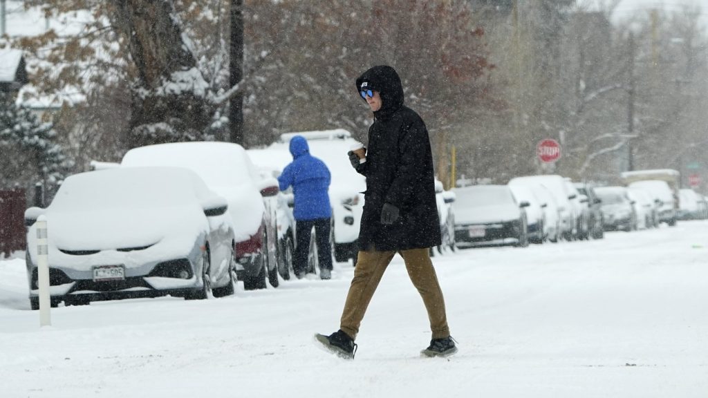
The winter weather roller-coaster is set to continue for Waterloo Region as two different weather surges are in the forecast throughout the remainder of the week.
It begins with a calm before the storm as Wednesday is expected to be fairly tame, with cloudy skies and a high of -5 C. Although, the first surge is expected to enter into the mix as early as the evening.
“Quiet today, but then we’ve got two systems moving in. Maybe a couple of centimeters of snow overnight and then we’ve got more snow Thursday morning,” said 570 Meteorologist Jill Taylor. “The bulk of the snow will fall between 5 to about 11 a.m.”
She said there is a definite difference between the two surges on the way, with the first being more calm in relation to the second.
“For Thursday, it’s not really a storm, but mixed precipitation, anytime there’s a potential for that mixed precipitation we certainly know it can cause problems. Saturday night and early Sunday could end up being a good snowstorm.”
Taylor mentions the second weather surge will cause some headaches across southern Ontario as a whole, set to create some slippery road conditions for both pedestrians and drivers alike.
“As far as the Saturday night, Sunday storm goes, 5 to 10 and possibly as much as 15 centimetres in some areas,” said Taylor. “This is going to be widespread snow for southern Ontario and some areas could be the biggest snowfall so far for the season.”
There could be some possible ice pellets or freezing rain in the mix as well leading up to the weekend, potentially creating some dangerous road conditions once the snow begins to hit the ground over the weekend.
A reminder to drive with caution across any snow or ice-covered roads, particularly on the back roads of Waterloo Region, and make sure to leave a safe amount of distance between vehicles.