Warmer temperatures expected this week in the region
Posted Feb 20, 2024 05:21:38 PM.
Last Updated Feb 20, 2024 05:22:41 PM.
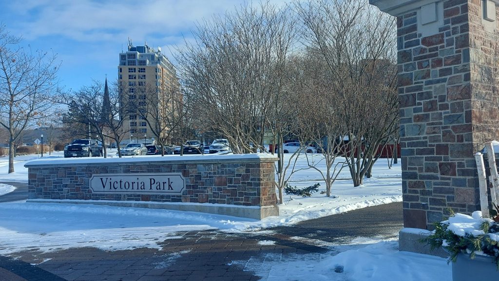
Waterloo Region can expect warmer than normal temperatures as people get back to work after a day with their families.
Tuesday was sunny, and Environment Canada is calling for a high of three degrees until later in the evening when it is expected to drop down to minus four degrees.
This time of the year, the region normally sees a high closer to minus one. Wednesday Environment Canada is calling for a high of seven or eight degrees as well as a 40 per cent chance of showers.
“It’s more of what we’ve been seeing this winter which is well above normal temperatures,” said Trudy Kidd, warning preparedness meteorologist at Environment Canada.
The warmest day on record for Feb. 21 in the region was 12.6 degrees, back in 1997.
Thursday will also be a high of seven degrees, but Environment Canada is calling for cloudy weather.
The previous record for warmest day for Feb. 22 was 13 degrees, in 2017.
A chance of showers into Thursday night will likely cool temperatures off as they expect Friday to have a high of minus one and a 30 per cent chance of flurries.
“As we were predicting this fall, we would have a warmer than normal winter and it’s certainly playing out that way. We’ve seen December, January and February so far be overall warmer then normal and that trend is going to continue,” said Kidd.
You can prepare for colder weather as the weekend starts. Saturday has a high of minus 3 and a 30 per cent chance of flurries.
It is set to warm up though in the region on Sunday with a high of five degrees. Monday will also have warmer temperatures with a high of six degrees.
Although the region has had at least one record-breaking day so far already this year, this week’s weather won’t be warm enough to set a new daily record for February.
Kidd added that as the weather can change quickly, it is important for people to stay up to date on weather conditions.